


Uncovering the Invisible
› Detail › Uncovering the Invisible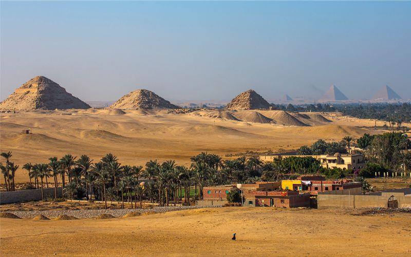
20.6.2024
Photographs of the Abusir Pyramids. Copyright: Archive of the Czech Egyptological Institute, Faculty of Arts, Charles University
20. 6. 2024 from 5 PM, lecture hall OMGM
Lecture by Vladimír Brůna, geodesist and cartographer,
(Czech Egyptological Institute, Faculty of Arts, Charles University Prague – Cairo,
Department of Geoinformatics, Faculty of Environmental Sciences, Jan Evangelista Purkyně University in Ústí nad Labem).
Uncovering the Invisible – Documentation in Egyptian Archaeology
Documentation methods are an integral part of field archaeological research. Using simple sketches, verbal descriptions, photographs, and drawings on graph paper to scale, the archaeological situation is documented. In recent decades, modern digital methods and geotechnologies have been employed in archaeological research. Documentation is faster, more accurate, and the archaeologist gains new datasets that provide a different perspective on the studied archaeological site.
Powerful geodetic total stations and GPS receivers, geophysical methods, aerial and terrestrial laser scanning, remote sensing methods, and 3D modeling are used. The lecture will present the results of documentation methods in archaeological research in Egypt (Abusir, Saqqara, and the Egyptian Western Desert) and from the Usli site in Sudan.